EV02 URBAN FOREST
Main node in the primary system of urban green infrastructure (UGI)
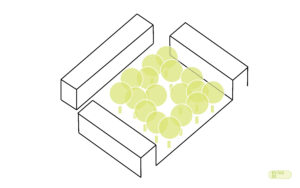
Aim
To create an urban green infrastructure (UGI) node in which plant material and its social use acquire special relevance, so it must have the necessary means and facilities to combine both aspects.
Why?
Since the creation of large urban parks throughout the 19th century, the continuous addition of landscaped areas has hardly left a mark on the urban landscape of cities. This neglect contrasts with the recent appreciation of peri-urban natural systems and the formation of large networks of connected public spaces with environmental quality. This is why historical models are currently being revised from a contemporary point of view. The ornamental and hygienic interest of the large parks is maintained in the powerful image of their valuable urban canopies, but the programmatic contents are updated giving these new spaces a democratic, revisionist and transforming vocation. Paradoxically, some historic parks have lost these qualities, going from being scenarios of an active urban life to becoming mere heritage references.
The services intended by urban forests are:
► Urban landscape: The urban forest, as a revision of the historical urban park model, aspires to become a point of reference for the contemporary urban landscape.
►Liveability of public spaces: Vegetation, especially the trees, contributes to psychological well-being and reduces stress. If they are located close to sanitary facilities, they can become therapeutic spaces. The plant masses that make up these spaces can act as acoustic screens and filters, as well as protection against high wind.
►Ecological connectivity: The tree cover constitutes the main stratum for the ecological connection in the urban complex. The continuity of canopies facilitates the free movement and dispersion of fauna, mainly birds and insects. Furthermore, vertical connectivity is ensured by the incorporation of the intermediate and lower strata.
►Water Cycle: The existence of vegetation is necessarily associated with the presence of permeable surfaces, causing water infiltration and reducing runoff.
► Climate Change adaptation and mitigation: Vegetation captures CO2 through the photosynthetic process. It also contributes to the mitigation of Urban Heat Island (UHI) phenomenon by being an effective buffer and fixes pollutant particles.
► Social cohesion: Urban parks are spaces conceived to be co-managed and for the involvement of users in their design, organisation and maintenance.
► Economy: The existence of trees and other types of vegetation implies the generation of quality organic ‘waste’ for the production of other derived products such as compost or mulch. Vegetated surfaces allow these products to be incorporated into the soil as an improver or weed control mechanism. In the case of incorporating edible species, they contribute to the production of fresh and healthy food at the local level.
How?
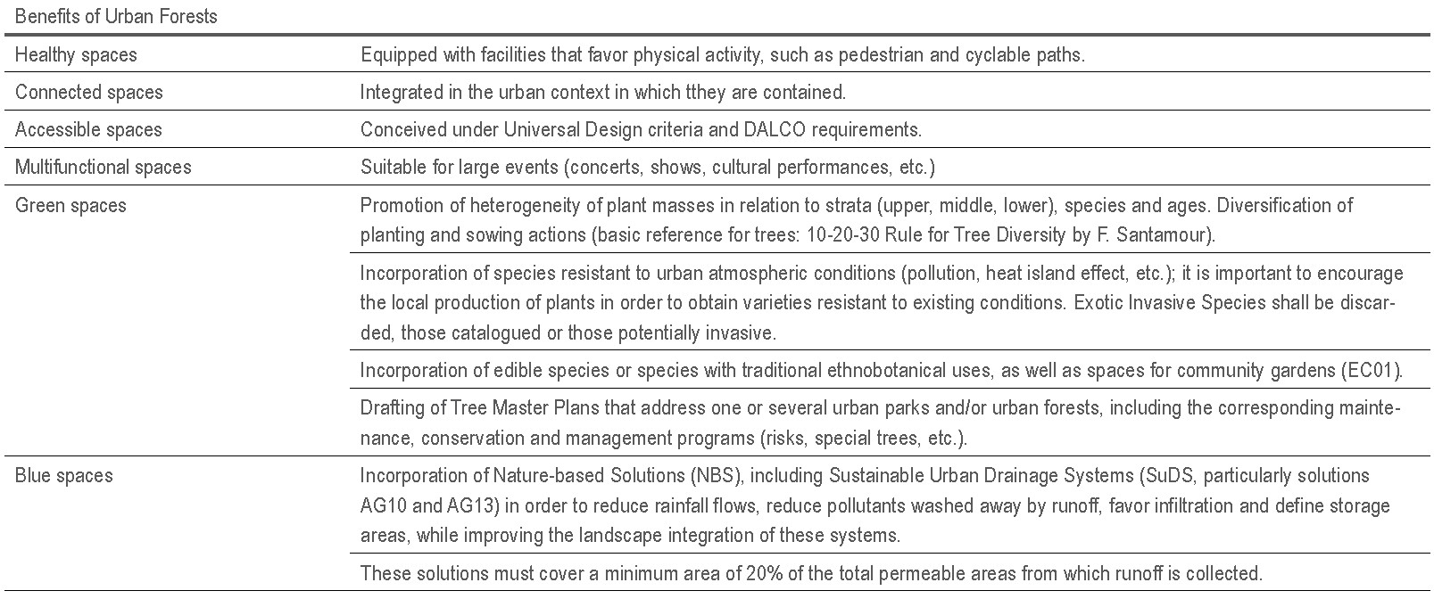
It will consist in the creation of vegetated areas with an extension of more than 0.5 Ha, with a tree cover of at least 70% of the free space of buildings, allowing a lower coverage due to the depth of the soil or other limiting factors. It will also include a high diversity of plant strata (understory, shrubs and ground cover).
However, during implementation it is necessary to propose participatory processes for its design, management and modification, in order to link these spaces to their users and promote sociability in them.
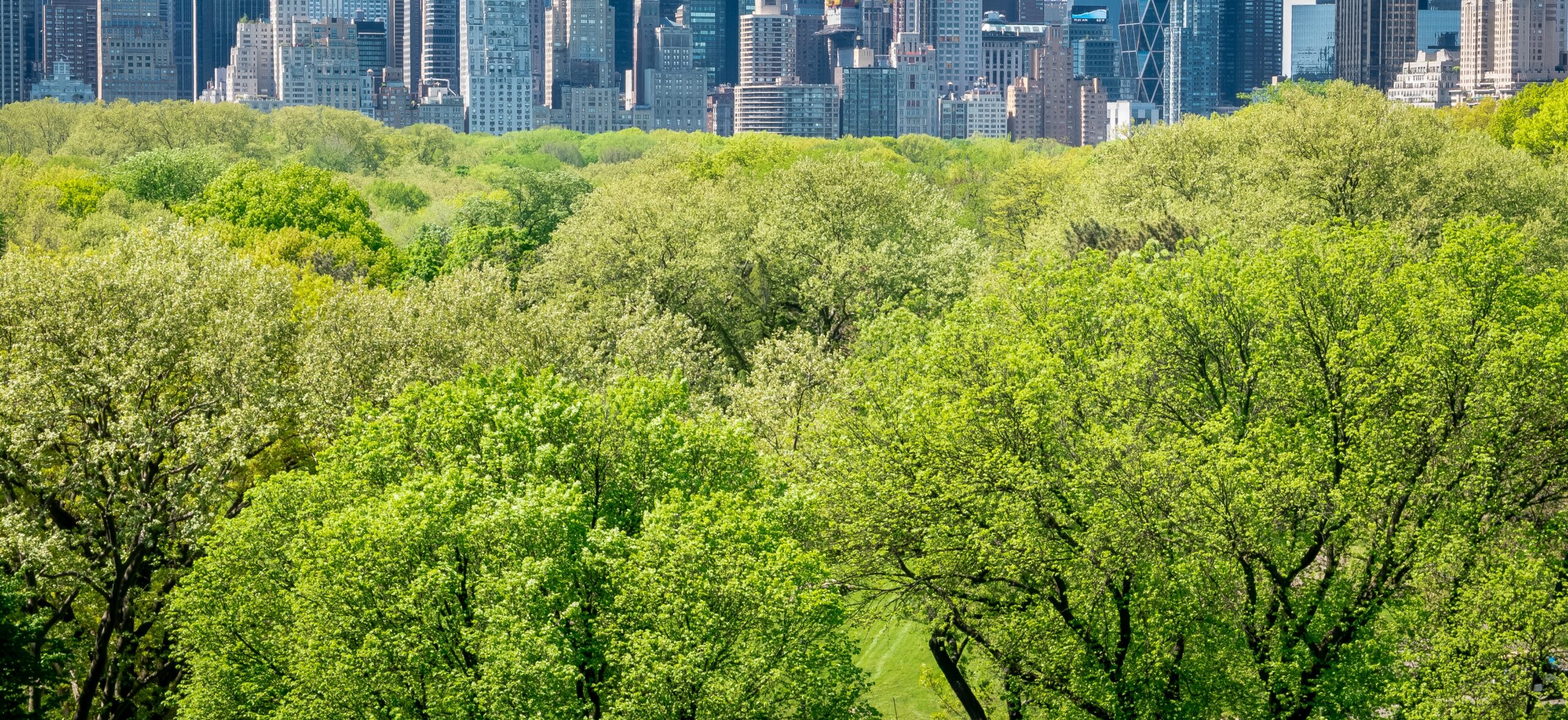 Central Park, New York (plan. 1857, F. Law Olmsted and Calvert Vaux)
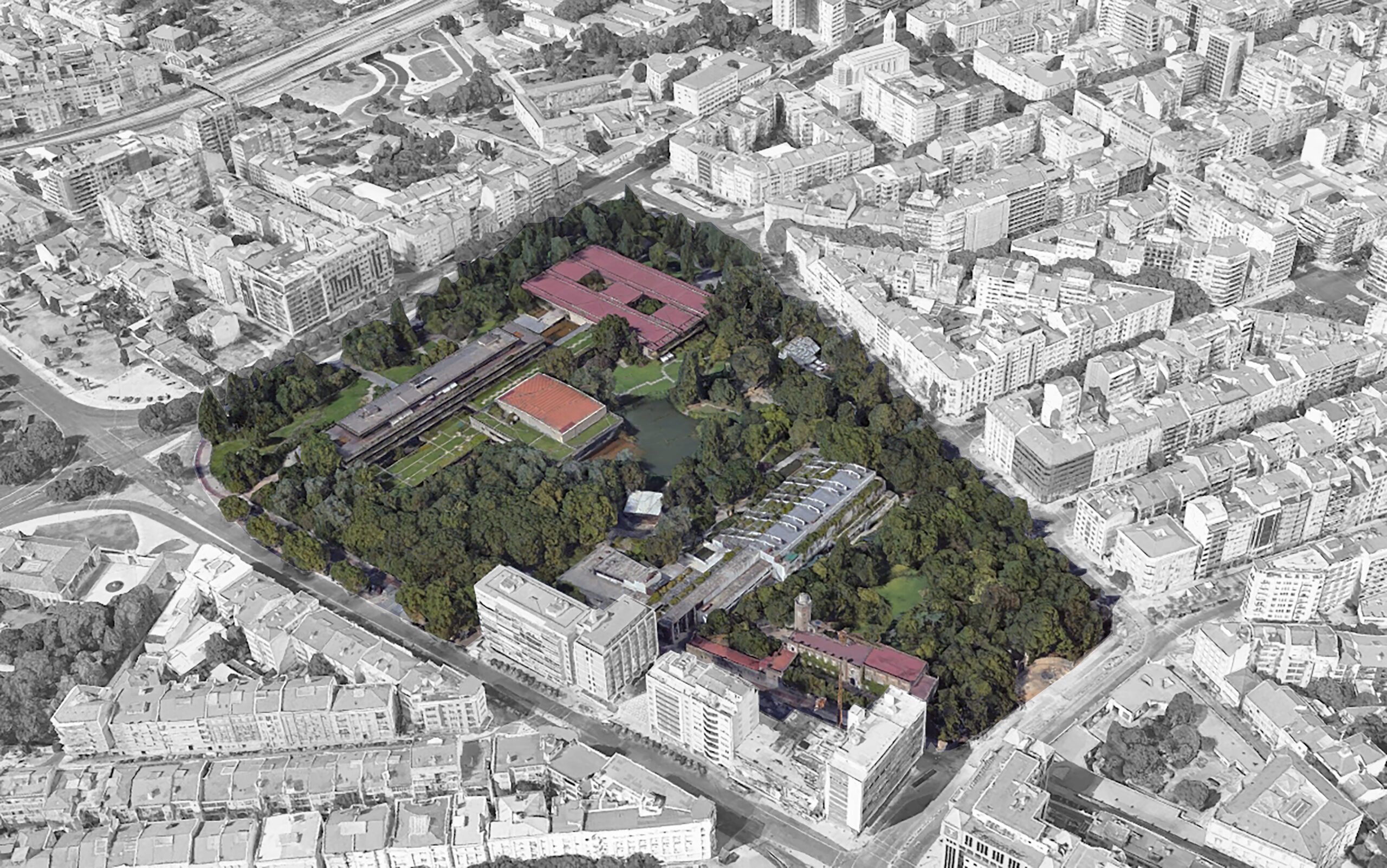
Fund.Gulbenkian Garden, Lisboa (Portugal) (plan. 1963-69, A. Viana & G. Ribeiro Telles)
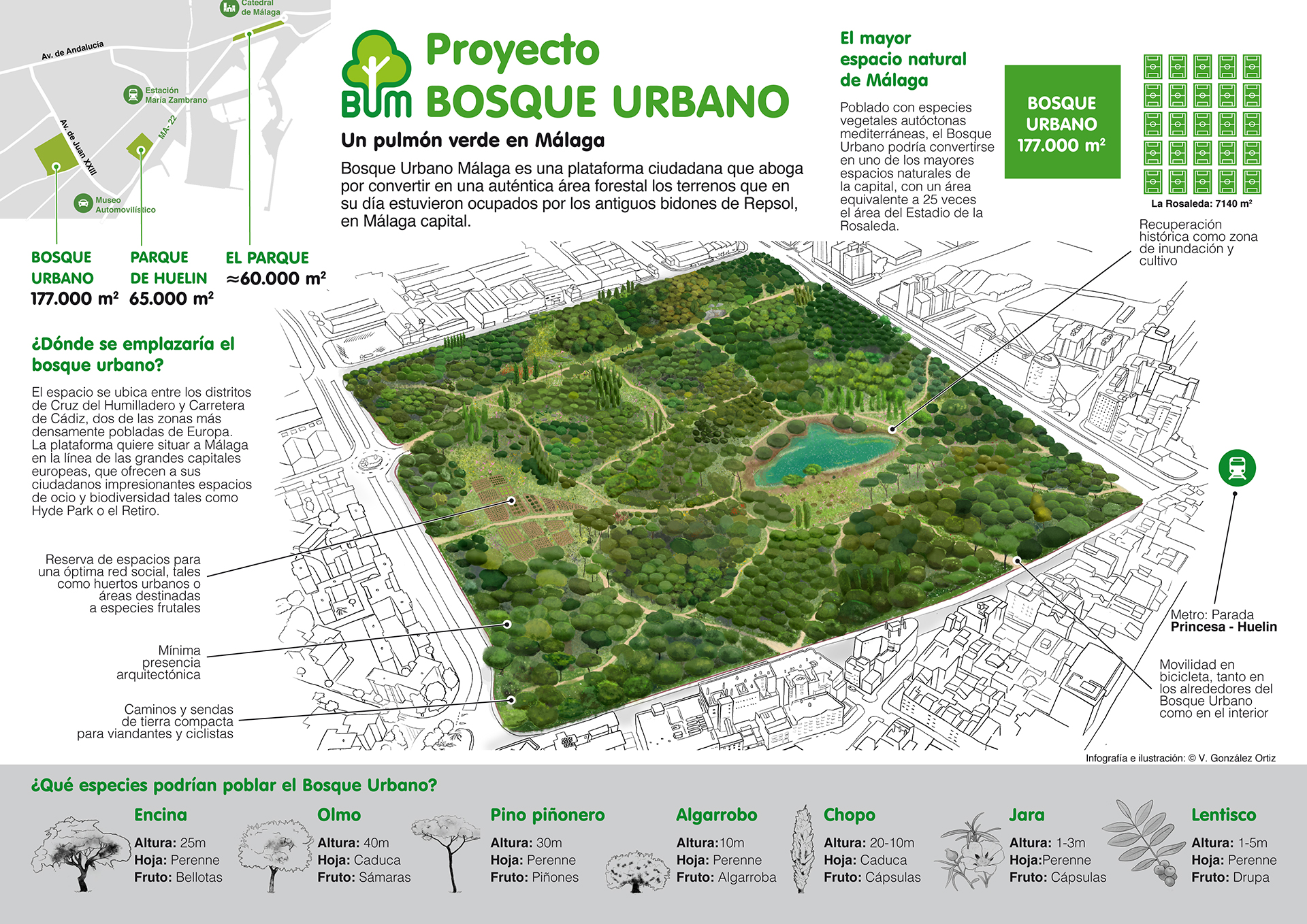 Citizen Platform ‘Bosque Urbano’ Málaga (Spain)
city SCALE INTERVENTION

ISSUES AFFECTED
SUITABLE TO BE COMBINED WITH OTHER SOLUTIONS
MEASURE METHOD
Indicator
(I1) CO2 Capture (CaCO2)
Unit
(I1) T CO2 / year
Minimum goal
(I1) 24 T CO2/ha · year (minimum density 160 trees/ha)
Desirable goal
(I1) Maximum possible tree density depending on the specific
characteristics of the space.
Measurement method / Formula
(I1) CaCO2 (T CO2·year) = [A x B]
A: number of trees in space
B: average capture value (0,15 T CO2/tree·year)
PLANNING LEVEL
Regional planning
Urban planning
Natural resource management plans
people INVOLVED
Local government technicians
Regional/General administration technicians
Water and natural resource managers.
POSIBLE ACTIONS DEVELOPED BY THE ADMINISTRATION:
• Specific master plan for each space within the framework of an urban tree master plan coherent with the management and planning instruments of the urban green infrastructure (UGI).
• Creation of a management body in partnership with the acting administration and the neighbourhood representative organisations.
• Creation of a nursery and community gardens (Forest Gardening)
What should we consider for its implementation?
• Urban forests are spaces designed to develop a complex ecosystem function.
• When greening projects are carried out, including the promotion of the natural dynamics of vegetation, connectivity with natural and semi-natural spaces has to be studied.
• It is necessary to know the initial state, particularly with regard to soil conditions (soil quality: contamination, aquifers, absence of substrate…) and environmental pre-existence (vegetation, rocky outcrops, fauna…).
• Selection of the type of vegetation to be adapted to climatic conditions and local species.
• It requires spatial and temporal planning and an adequate design. Maintenance is essential.
EXAMPLES


