AC05 PEDESTRIAN ROUTES
Safe, continuous and attractive network of pedestrian itineraries
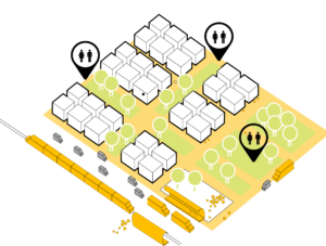
Aim
To connect all transport infrastructures, equipment, leisure spaces, etc., through a pedestrian network that guarantees accessibility on foot to all services and daily activities.
Why?
Most of the urban developments carried out in the 20th century have been planned by putting the automobile at the centre of all decisions, ruling out other more efficient modes of transport in the city. This has led to a vicious circle in which the design of hostile cities to pedestrians and cyclists and the abandonment of public transport has created a situation in which it is almost compulsory to move around the city by car.
Even so, in European cities, the percentage of journeys made on foot is very high despite the fact that most of the public space is dedicated to the car. But on many occasions, walking is hampered by dangerous crossings, discontinuity on sidewalks, street furniture, etc.
How?
As in many processes of change in aspects that affect society, the first thing must be a change of mentality on the part of the decision-makers whose decisions affect the public space.
Two premises must be clear:
• We must guarantee people’s access to services and activities, but not their cars.
• The function of streets is to allow the movement of people, not to store cars.
In short, it would be a question of replacing the car with the pedestrian in all decisions in public space, so it is much better understood. No one would think of a city without a continuous network for cars, where many intersections do not have continuity in level, for example.
Although the majority of the population would agree with these premises, putting them into practice would be a major change in our cities, as virtually all decisions that continue to be taken go in the opposite direction.
Once that change in mentality has taken place, the steps to follow to achieve a continuous, safe and attractive pedestrian network would be as follows:
• Hierarchizing the road network
• Reduce speed in urban areas below 30 km/h.
• Plan a network of continuous pedestrian routes throughout the city.
• Increase single-platform areas on access streets.
• Maintain level continuity of sidewalks at junctions.

Once the pedestrian network has been planned, we must ensure that it meets the following conditions:
• Connectivity: it must connect the different neighbourhoods with the main destinations of the population, and not only with green spaces or leisure areas. It must be ensured that the itineraries are complete, without obstacles. If appropriate, these pedestrian itineraries will be combined with cyclists or public transport.
• Accessibility: these itineraries must allow their use by all types of users. If necessary to overcome obstacles, mechanical ramps, lifts, etc. will be installed.
• Diversity: The public space must be socially and functionally diverse. It must have variety in the type of construction, in the type of activity, etc.
• Safety: Both objective and subjective road and citizen safety must be ensured. In order to achieve this, the speed of cars will be reduced, continuity and preference will be given to pedestrians at crossroads, any type of vehicle will be forbidden to circulate on sidewalks, it will be conveniently illuminated, etc. In addition, an attempt will be made to ensure that itineraries run through areas where there is activity at all times.
– Health: Ensure that pedestrian routes run through uncontaminated areas. Traffic or its speed will be reduced, these routes will coincide with the city’s green infrastructure, etc.
– Attractive: In addition to trying to make these itineraries run through areas that are already attractive, the urban furniture, signposting, pavements, etc. will be designed in such a way that the whole is harmonious. Special attention will be paid to vertical signposting in order to avoid obstacles.
– Legibility: Itineraries must be designed in such a way that all users have a clear idea of how to behave on them. In addition, information will be available online and in the streets where these itineraries can be seen in combination with cycling itineraries, public transport, etc.
– Continuity: All the above conditions will be maintained along all the itineraries.
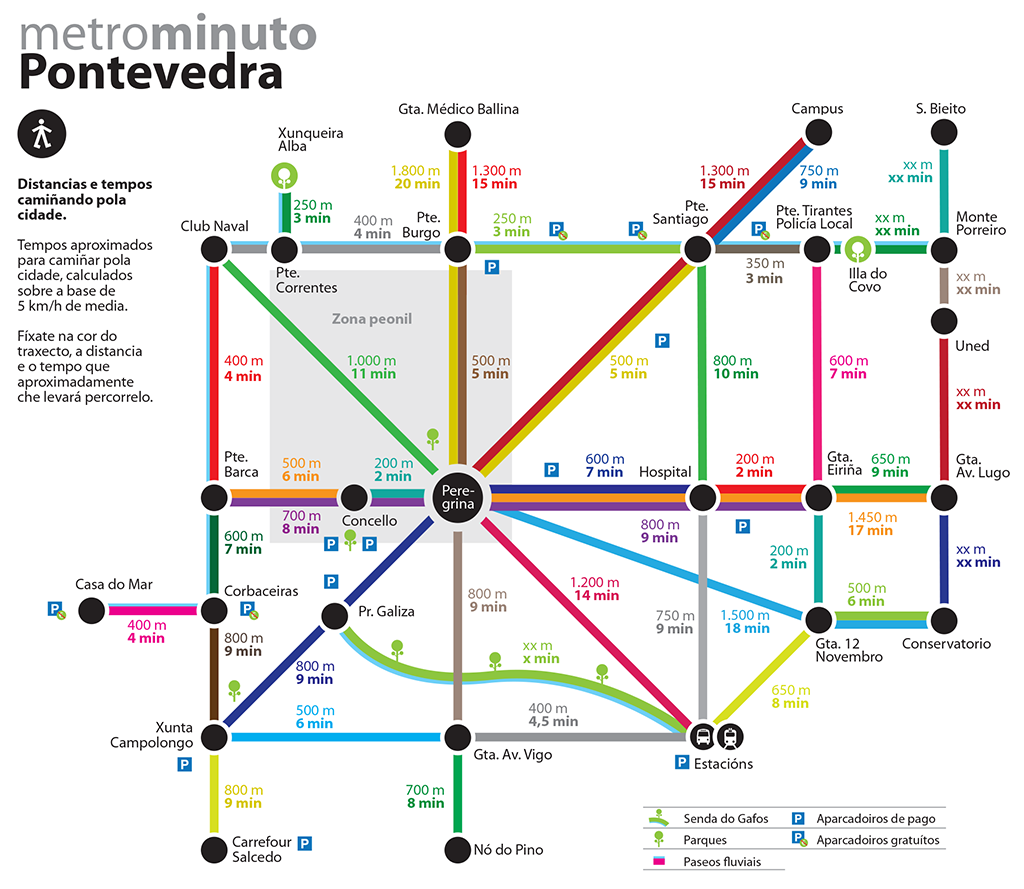
Pontevedra’s Metrominuto
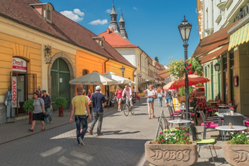
Street with pedestrian priority in Hungary
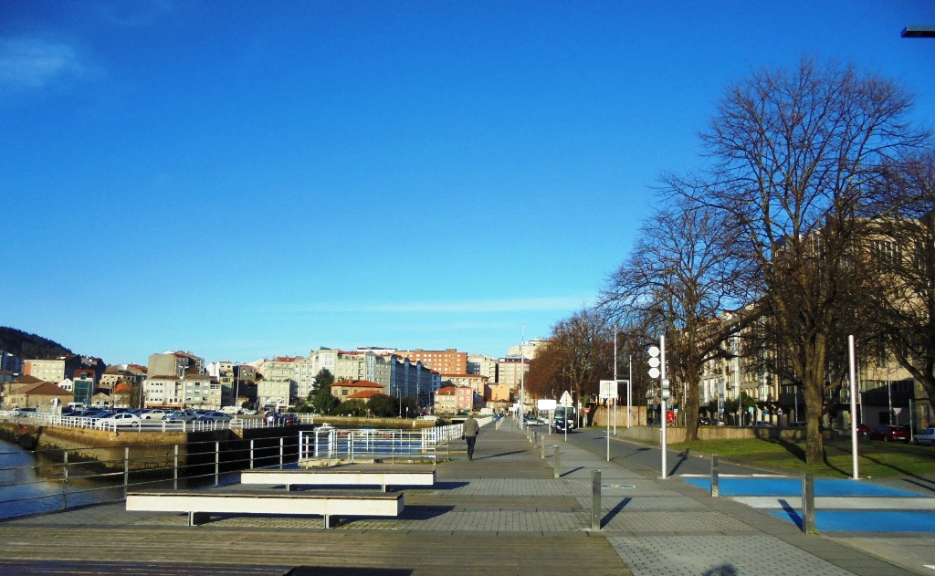
Pontevedra seafront promenade
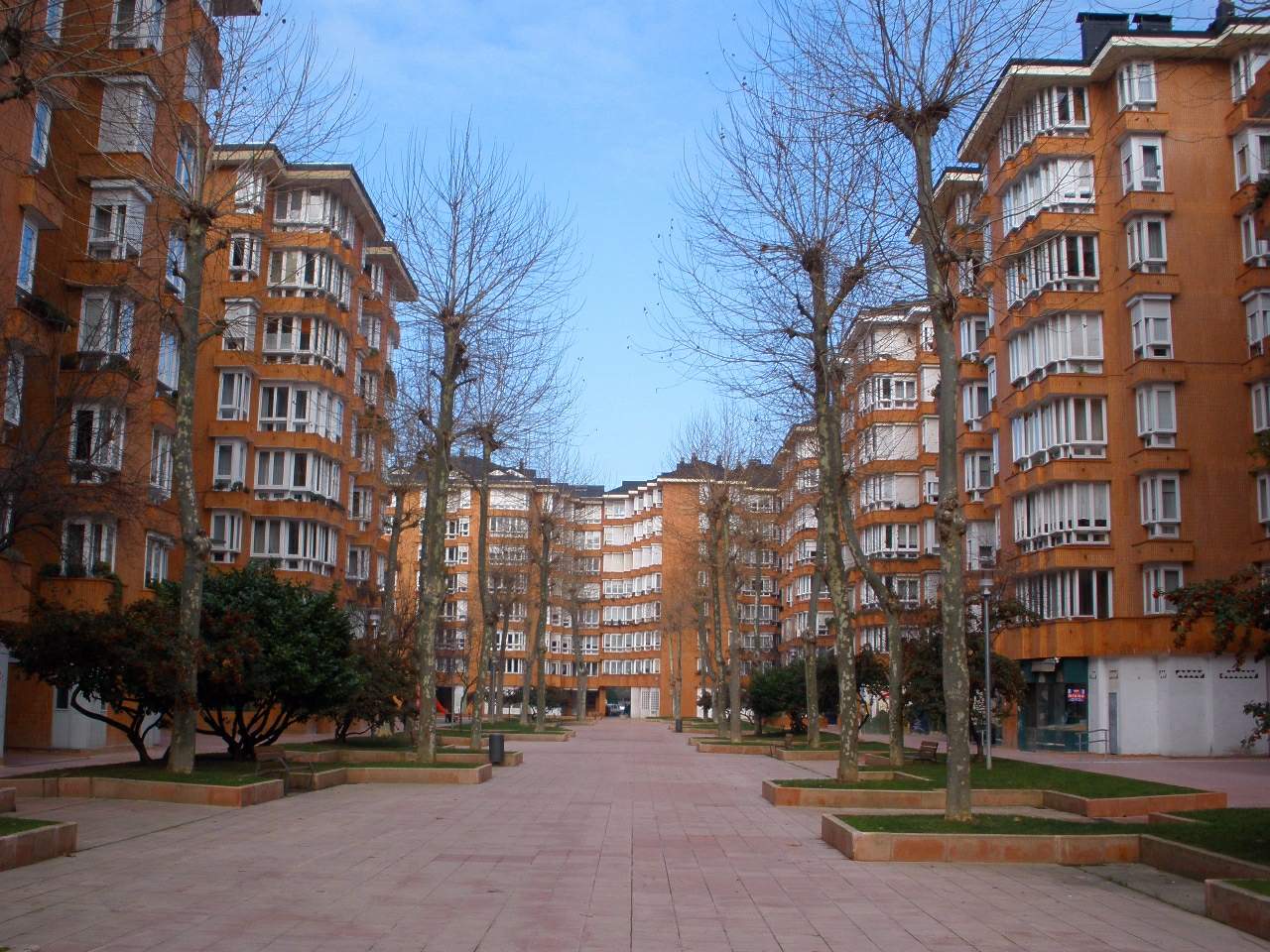
Barrio de San Martín (Vitoria)
City Scale Intervention

ISSUES AFFECTED
SUITABLE FOR COMBINING WITH OTHER SOLUTIONS
Measuring elements
Indicator
Main: C02 reduction by switching from private vehicle trips to walk
Secondary: % of reduction of PV trips
Unit
g CO2
%
Minimum Goal
5 % of reduction of PV trips
Desirable Goal
10 % of reduction of PV trips
Measure method / Formula
Anual Mobility Survey
∆g CO2=A x B x C
A: % of reduction of PV trips
B: PV CO2 Emission Factor (g CO2/km)
C: Total km travelled
PLANNING LEVEL
General Planning
Development Planning
Urbanization Detailed Design
Construction Detailed Design
PEOPLE INVOLVED
Local Officials
Planning and design team
POSIBLE ACTIONS DEVELOPED BY THE ADMINISTRATION:
∙ Promote and encourage the development of plans such as “Safe routes to school” or Corporate Mobility Plans
WHAT SHOULD BE CONSIDERED FOR ITS IMPLEMENTATION?
∙ Just as important as the design of public space is the activity of the premises and buildings located in them
∙ You have to consider both objective and subjective security


